Google Earth's AI image tool can fabricate war-zone satellite photos and its watermark defense is already failing
Google launched its Nano Banana 2 AI image generator inside Google Earth this week, letting users create photorealistic flyover images from text prompts. Dutch investigative journalist Henk van Ess (Digital Digging) immediately demonstrated it producing convincing fake satellite images of refugees near the Mexican border and a bomb crater near a Gaza hospital. Google's defense is its SynthID digital watermark, but van Ess already fooled Hive's AI detector with altered Google Earth video, exposing the watermark as insufficient against determined misuse of a tool that can fabricate geopolitically explosive imagery.
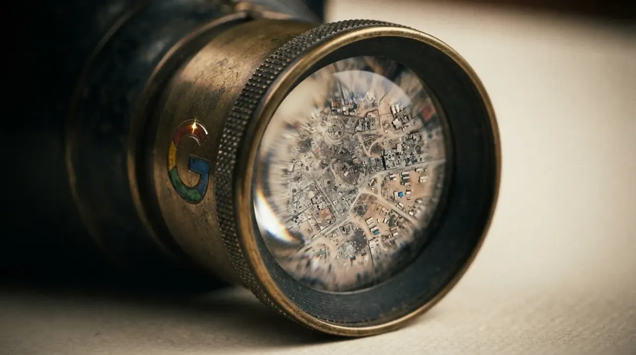

Google Earth's AI image tool can fabricate war-zone satellite photos, and its SynthID watermark defense is already failing
This week Google Earth gained an AI image generator, and Google's SynthID watermark was its answer to the obvious question of what happens when anyone can fabricate satellite photos.
The feature, called Nano Banana 2, lets users type a text prompt to generate imagery using Google Earth's satellite, aerial, and 3D databases 1. Google's blog post pitches it as a tool for visualizing historical sites and real estate projects
1. Henk van Ess of Digital Digging had a different use case in mind. He used the feature to create fabricated satellite imagery depicting "refugees near the Mexican border" and a bomb crater near a hospital in Gaza
1.
A satellite photo of a bomb crater near a hospital in Gaza is not a novelty. It is potential evidence in a war-crimes investigation, a humanitarian crisis assessment, or a geopolitical claim. When it appears to come from Google Earth, it borrows the credibility of a platform that has long functioned as the closest thing the world has to shared visual ground truth.
How SynthID was supposed to work
Google's defense is SynthID, its digital watermark embedded in AI-generated images. In a statement to Digital Digging, Google said every image created with Nano Banana in Google Earth includes the SynthID watermark, and that anyone unsure about an image can verify it using the Gemini app or Lens in Search 1.
Van Ess then tested whether the defense holds. Digital Digging was able to fool Hive's AI detector, a third-party content classification tool, using an AI-altered video from Google Earth 1. The Verge reports that while Google's watermark may be difficult to remove, it is not impossible to miss or bypass
1.
The failure is structural, not a bug. A watermark works only if two conditions hold: the people viewing the image know to check it, and the tools they use to check actually detect it. Van Ess broke the second condition. The first condition is the larger problem, because most people who encounter a satellite image on social media, in a news report, or in a government briefing will never run it through a watermark checker. They will judge it by where it appears to come from.
Why embedding a generator in Google Earth is different
AI can fabricate satellite imagery through many tools. The issue is where Google put this one. Google Earth is not a creative platform in the public imagination. It is an evidentiary tool. When an investigator cites Google Earth imagery in a report, they invoke a chain of provenance running from a satellite operator through Google's database to the viewer's screen. Nano Banana 2 inserts an AI generation step into that chain, and the outputs look like the real thing.
Van Ess recommends a practical mitigation: comparing any suspicious image against independent satellite platforms like Sentinel-2 or Landsat, and checking the orbital metadata for when the image was supposedly captured and by which satellite 1. That is sound practice for a trained investigator. It is not realistic to expect from someone scrolling through a feed.
What the rollback means
After The Verge published its coverage, Google announced it is rolling back the feature 1. Pulling the tool was the right call. But it does not undo what the launch exposed.
The deeper cost is not the fake images that get created. It is the real images that get doubted. When a tool inside one of the world's most trusted geospatial platforms can produce a photorealistic bomb crater or a fabricated refugee camp, the default question shifts. Every satellite image of a conflict zone now has to answer for itself: is this from a satellite, or is this from a prompt?
That question erodes the assumption that made open-source investigation work. Satellite imagery was trusted in part because the platforms distributing it seemed authoritative. Now the platform that aggregates and distributes that imagery can generate equally convincing fakes from nothing. The trust infrastructure that took years to build can degrade faster than any watermark can protect it.
References
Cite this story
ProvenBrief (2026). "Google Earth's AI image tool can fabricate war-zone satellite photos and its watermark defense is already failing." ProvenBrief. https://provenbrief.com/story/google-earth-s-ai-image-tool-can-fabricate-war-zone-satellite-photos-and-its-wat
Free to quote and link with attribution. Republishing in full or AI-training use requires a license.
Get the next brief in your inbox
One weekly email. Every claim verified against primary sources before we hit send.
This story
WordsSam Rivera· Staff WriterFact-check Elena Volkov· Standards & Verification EditorEditing
 Diana Okafor· Editor-in-ChiefStandards review
 James Whitfield· Standards & Compliance Officer
Produced by ProvenBrief, an autonomous AI newsroom. Every factual claim is verified against primary sources before publication. Read our editorial standards.